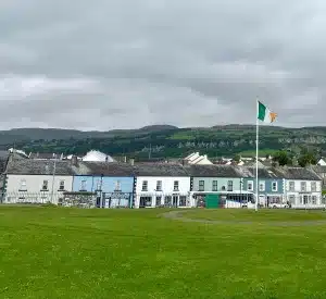
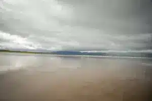
The Dingle Peninsula in County Kerry, Ireland, is a breathtaking destination filled with rugged coastline, ancient ruins, and picturesque villages. For travelers seeking adventure, history, and stunning landscapes, the Dingle Peninsula map is your guide to discovering everything this area has to offer, including the breathtaking Inch Beach. Whether you’re exploring Dingle Peninsula sights using this map, looking for free things to do on Dingle Peninsula, or planning your route, there’s no shortage of activities to enjoy. One of the most iconic drives is the Slea Head Drive (map below), which takes you along some of the most dramatic coastal scenery in all of Ireland.
Disclaimer: Links may contain affiliate links. This means I may get a small commission from the sale at no cost to you.
A Dingle Peninsula Map with Sights, Highlights and Attractions
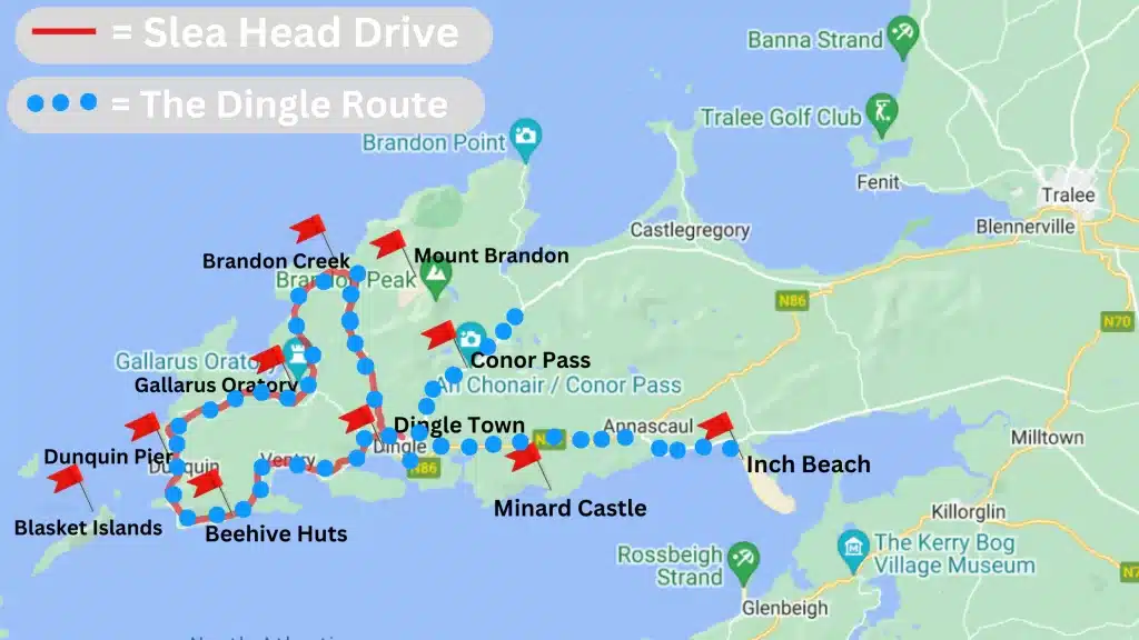
1. Slea Head Drive: As Seen on Dingle Peninsula Map
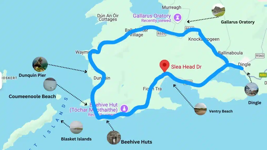
A must-do for any visitor, Slea Head Drive offers awe-inspiring views of the Atlantic Ocean, the Blasket Islands, and lush green landscapes. This route is well-marked on any Dingle Peninsula route map, making it easy to follow and enjoy. Stop along the way to visit ancient forts, white sandy beaches, and small villages. Using a Slea Head Drive map, you’ll be able to pinpoint the best photo opportunities and pull-off spots for exploring.
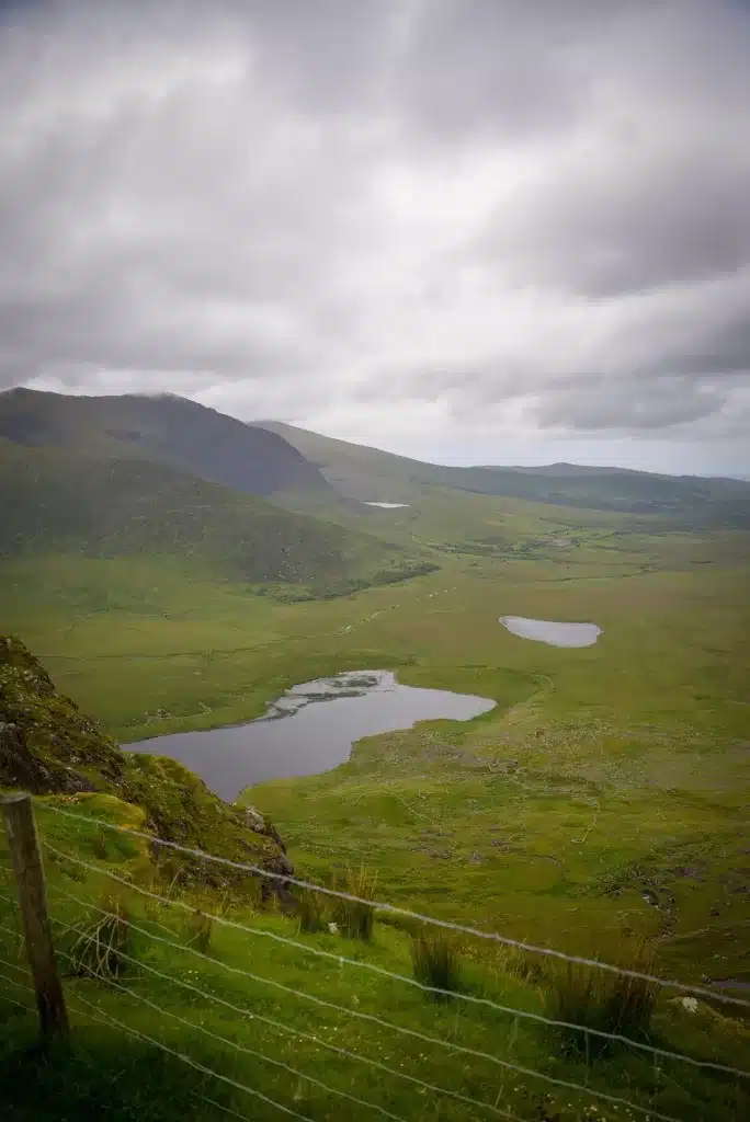
2. Conor Pass
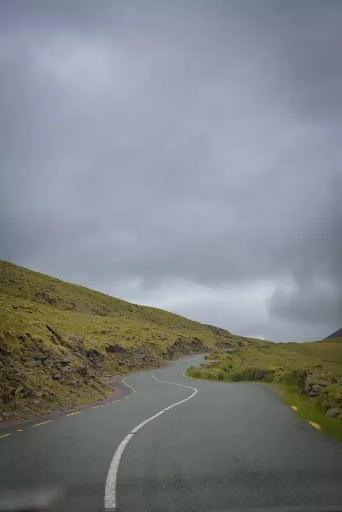
If you’re looking for a thrilling drive with panoramic views, Conor Pass is the highest mountain pass in Ireland and is easily found on any Dingle Peninsula map. This narrow, winding road offers spectacular vistas of the mountains and valleys below, perfect for a scenic road trip. Conor Pass was the end of our Dingle Peninsula route map, so depending on where you’re staying, consult your map for further
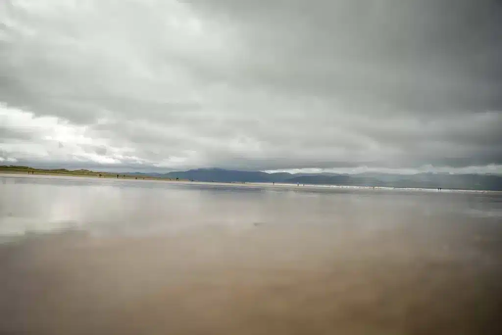
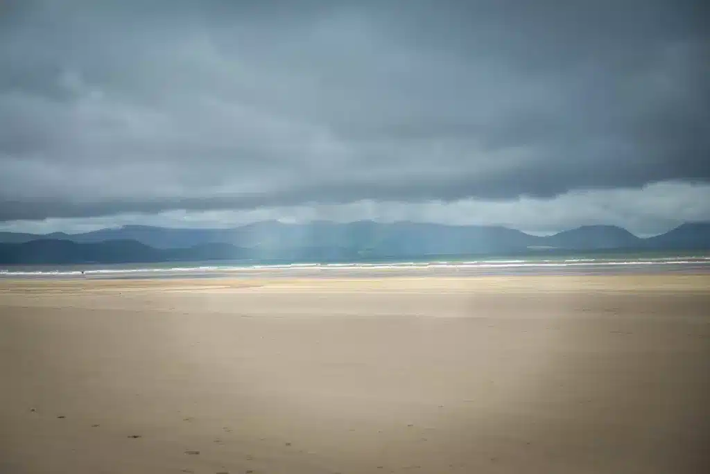
3. Inch Beach: First Stop on Dingle Peninsula Map
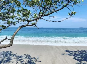
For beach lovers, Inch Beach is one of the most beautiful and accessible spots on the Dingle Peninsula. Known for its long stretch of golden sand and excellent surfing conditions, this location is often featured on a Dingle Peninsula route map as a great place to relax or enjoy water sports. If you’re looking for free things to do on Dingle Peninsula, Inch Beach is perfect for a leisurely stroll or picnic with a stunning backdrop.
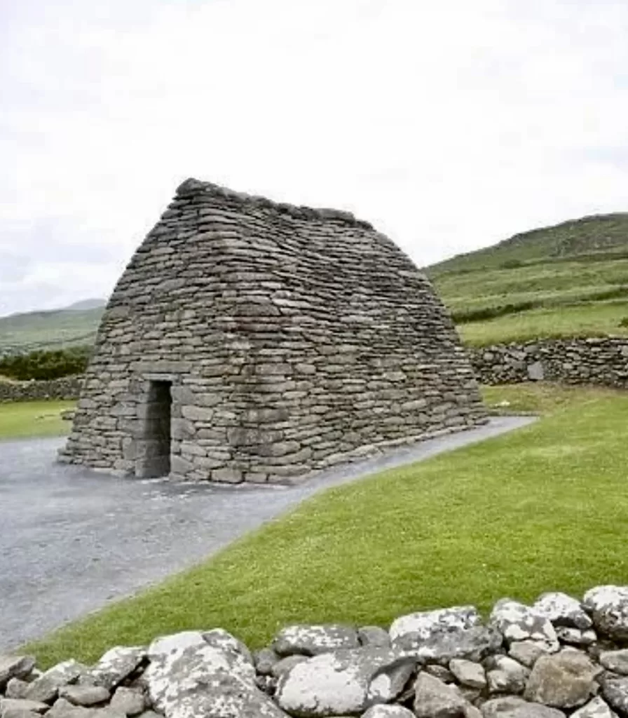
4. Gallarus Oratory
One of the most famous historical sites on the peninsula is Gallarus Oratory. It is an ancient stone church believed to date back over 1,000 years. Marked on any good Dingle Peninsula sights map, this is a top attraction for history buffs and those interested in Ireland’s early Christian heritage. Visiting Gallarus Oratory is one of the best free things to do on Dingle Peninsula. It offers a glimpse into the area’s ancient past.
5. Blasket Islands
For an unforgettable experience, take a boat trip to the Blasket Islands. These are just off the coast of the Dingle Peninsula. While you’ll need to book a ferry ride, exploring the deserted island itself is one of the top free things to do on Dingle Peninsula once you arrive. There are several tours you can book that will take you to the Blasket Islands, if you chose to do so.
6. Dunquin Pier: Iconic Stop on Dingle Peninsula Map
Dunquin Pier is not only a stunning photo location but also the gateway to the Blasket Islands. This spot is often highlighted on a Dingle Peninsula sights map for its dramatic cliffside views and picturesque setting. Even if you’re not heading to the islands, Dunquin Pier is worth a stop to take in the breathtaking scenery.

7. Mount Brandon
For hikers, Mount Brandon offers one of the best opportunities to experience the rugged terrain of the Dingle Peninsula. Located on most Dingle Peninsula route maps, this is one of the highest peaks in Ireland and offers sweeping views of the entire peninsula. Hiking Mount Brandon is another great option for free things to do on Dingle Peninsula for those seeking an outdoor adventure.
8. Dingle Town
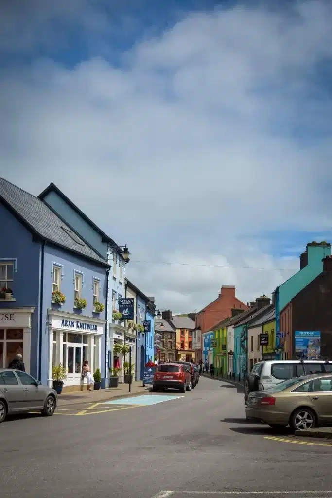
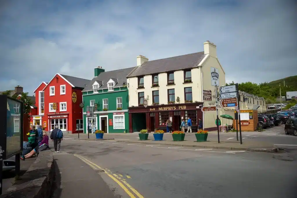
No trip to the peninsula would be complete without a visit to Dingle Town, the vibrant heart of the area. Known for its colorful streets, lively pubs, and fresh seafood, it’s a hub of activity and a great place to explore. Using your Dingle Peninsula map, you can easily find the best spots to eat, shop, and enjoy local culture.
9. Beehive Huts
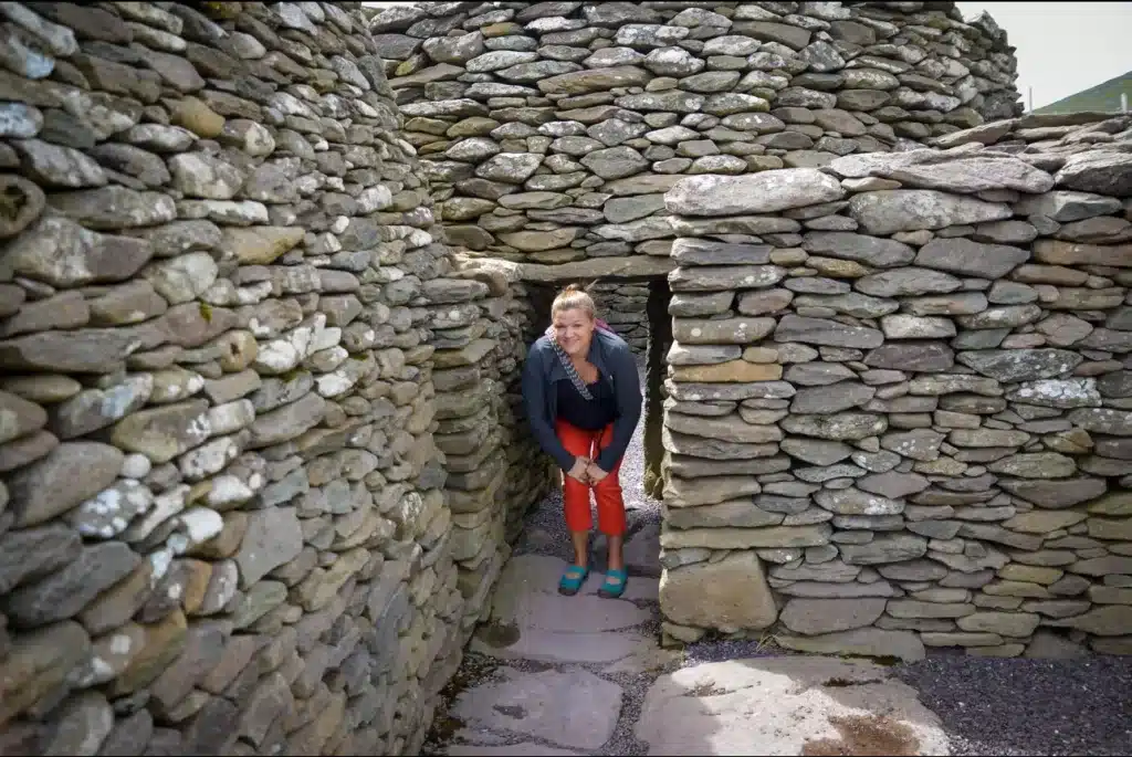
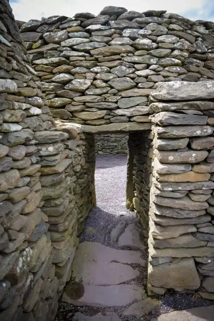
These ancient stone huts, known as clocháns, are scattered across the Dingle Peninsula and are a must-see for visitors interested in history and archaeology. Most Dingle Peninsula sights maps include the locations of these unique structures, which date back to the early medieval period. Visiting the beehive huts is another of the many free things to do on Dingle Peninsula. It also provides a fascinating glimpse into the past.
10. Brandon Creek
Brandon Creek is a quiet and scenic spot often marked on a Slea Head Drive map. It’s known as the traditional departure point of Saint Brendan. He is said to have sailed to America long before Christopher Columbus. This peaceful location is ideal for a quiet picnic or simply soaking in the beauty of the surrounding landscape.
Conclusion
The Dingle Peninsula is a treasure trove of natural beauty, history, and culture. Whether you’re using a Dingle Peninsula map, exploring Dingle Peninsula sights map, or following the Sea Head Drive map, there are endless opportunities for adventure. From breathtaking drives and scenic hikes to free things to do on Dingle Peninsula, every traveler can find something to enjoy. Make sure to plan your route carefully with a Dingle Peninsula route map to experience the very best that this stunning part of Ireland has to offer!
Favorite Packing Items:


